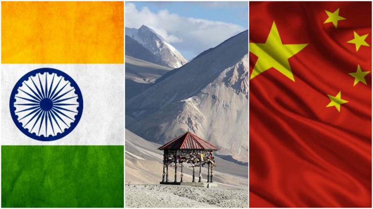
 India-China
 Beijing-New Delhi conflict: Satellite images 'show Chinese infrastructure upgrades' in region contested by India
Tension may once again be heightened between Beijing and New Delhi as satellite imagery of alleged Chinese roads and other infrastructure leading to the Depsang Plains have surfaced online, media reports said.
New unverified satellite images dated 17 August, which surfaced on Wednesday, reveal what seems to be upgraded infrastructure near the Depsang Plains along the western sector of the 3,488 km-long Line of Actual Control (LAC), reports Sputnik news agency.
A twitter handle named @detresfa said, "It appears the Tianwendian Highway that leads up to the Depsang Plains area under China PLA's control in AksaiChin has been undergoing roadworks, widening and upgrades this year."
It appears the #Tianwendian Highway that leads up to the #Depsang Plains area under #China PLA's control in #AksaiChin has been undergoing roadworks, widening & upgrades this year pic.twitter.com/OCHjzfursu
— d-atis☠️ (@detresfa_) August 18, 2021
The Tianwendian highway connects the PLA’s Tianwendian all-season post in Aksai Chin to the Depsang Plains. Tianwendian post is situated barely 24 km from India’s highest airstrip – Daulet Beg Oldie (DBO) in Ladakh, reports Sputnik.
Relations between India and China hit a new low last year as soldiers clashed on the border.
Support Our Journalism
We cannot do without you.. your contribution supports unbiased journalism
IBNS is not driven by any ism- not wokeism, not racism, not skewed secularism, not hyper right-wing or left liberal ideals, nor by any hardline religious beliefs or hyper nationalism. We want to serve you good old objective news, as they are. We do not judge or preach. We let people decide for themselves. We only try to present factual and well-sourced news.


