

Incessant rains lash Odisha, cyclone Fani to hit coast tomorrow
Bhubaneswar, May 2 (UNI): Incessant rain lashed parts of coastal Odisha as the extremely severe cyclonic storm ‘Fani’ remained on course to hit the Odisha coast on Friday forenoon according to the Centre for Environment and Climate (CEC) of SOA University.
The cyclonic storm, the sixth to head towards the eastern state in May in 125 years, lay centered about 360 km south-southwest of Puri at 11.30 am on Thursday and was likely to cross the coast somewhere south of Puri between 6 am and 10 am on Friday morning, Dr. S.C.Sahu, Director, CEC, said.
The cyclonic storm was earlier expected to cross the coast at around 5:30 pm on Friday.
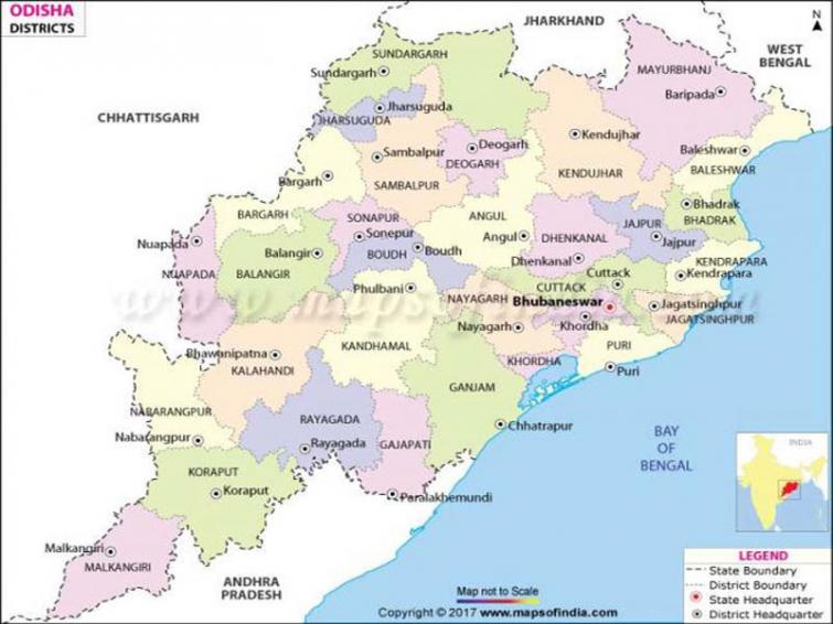
‘Fani’ had moved in a north-northeasternly direction at a speed of 16 km per hour and was expected to continue its movement in the same direction before crossing the Odisha coast between Gopalpur and Paradip south of Puri.
The wind speed was likely to be around 170 to 180 km per hour gusting to 200 km per hour at the point of landfall, Dr. Sahu said.
It will have more impact of wind force and will be accompanied by heavy rainfall and storm surging height varying from five to seven metres in Puri and Jagatsinghpur districts, he said.
The districts to be affected seriously included Puri, Jagatsinghpur, Kendrapara, Khurda, Bhadrak and Balasore besides the northern part of Ganjam.
The other districts to be impacted to a lesser extent will be Cuttack, Jajpur, Nayagarh, Mayurbhanj, Keonjhar and Dhenkanal.
Some places in the coastal districts could experience extremely heavy precipitation of more than 300 mm during the passage of the cyclone, the CEO director said adding the eye of the cyclonic storm, estimated to be 24 km, was very wide.
Support Our Journalism
We cannot do without you.. your contribution supports unbiased journalism
IBNS is not driven by any ism- not wokeism, not racism, not skewed secularism, not hyper right-wing or left liberal ideals, nor by any hardline religious beliefs or hyper nationalism. We want to serve you good old objective news, as they are. We do not judge or preach. We let people decide for themselves. We only try to present factual and well-sourced news.
Support objective journalism for a small contribution.